The publication
About Boreal Current
Boreal Current is a reading atlas for the freshwater connections that shape Canadian landscapes. Its articles begin with a visible feature—a river channel, a lake shore, a marsh—and follow the processes that give it form. The emphasis is on useful distinctions: a watershed includes land, a water level reflects several inputs and losses, and different wetlands receive water in different ways. Each chapter links to the public agencies responsible for the underlying explanations. Readers can move between a national view of drainage and closer studies of Georgian Bay and the Peace–Athabasca Delta, building a vocabulary for understanding water in place.
Read the subject through its sources
Follow Canadian freshwater from a drainage divide to an inland delta. Boreal Current explains watersheds, Great Lakes water balances, wetland habitats, and seasonal river movement through clear articles grounded in public scientific resources, with source links beside every reading chapter.
Articles are original explanations drafted with AI assistance and checked against the primary sources linked beside the relevant sections. Their review date identifies the source check; it is not a claim of breaking news.
This publication does not claim to be a government service, museum, research institution or industry body. A source link acknowledges evidence, rather than an endorsement or partnership. The articles do not claim interviews, site visits or an invented reporting team.
Help improve an explanation
Send a question or correction to [email protected]. Include the story title, the passage and, if available, a primary source that supports the correction.
A general explanation cannot cover every location, material, model or circumstance. For a specific situation, consult the applicable official guidance or a suitably qualified professional. The publication has no product checkout, paid recommendations or affiliate rankings.
Photography and image credits
Captions identify the actual subjects shown. A contextual photograph is not evidence of an event described as happening today. Images retain their individual licences; they are separate from the site's original text and design. The displayed copies are resized and compressed, and the layout may crop their visible area responsively.
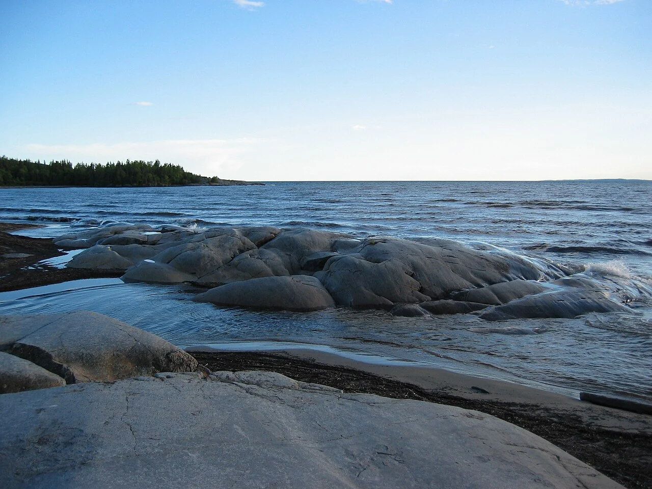
Lake Superior’s north shore at Neys Provincial Park, Ontario, photographed in June 2004.Kevstan · CC BY-SA 3.0 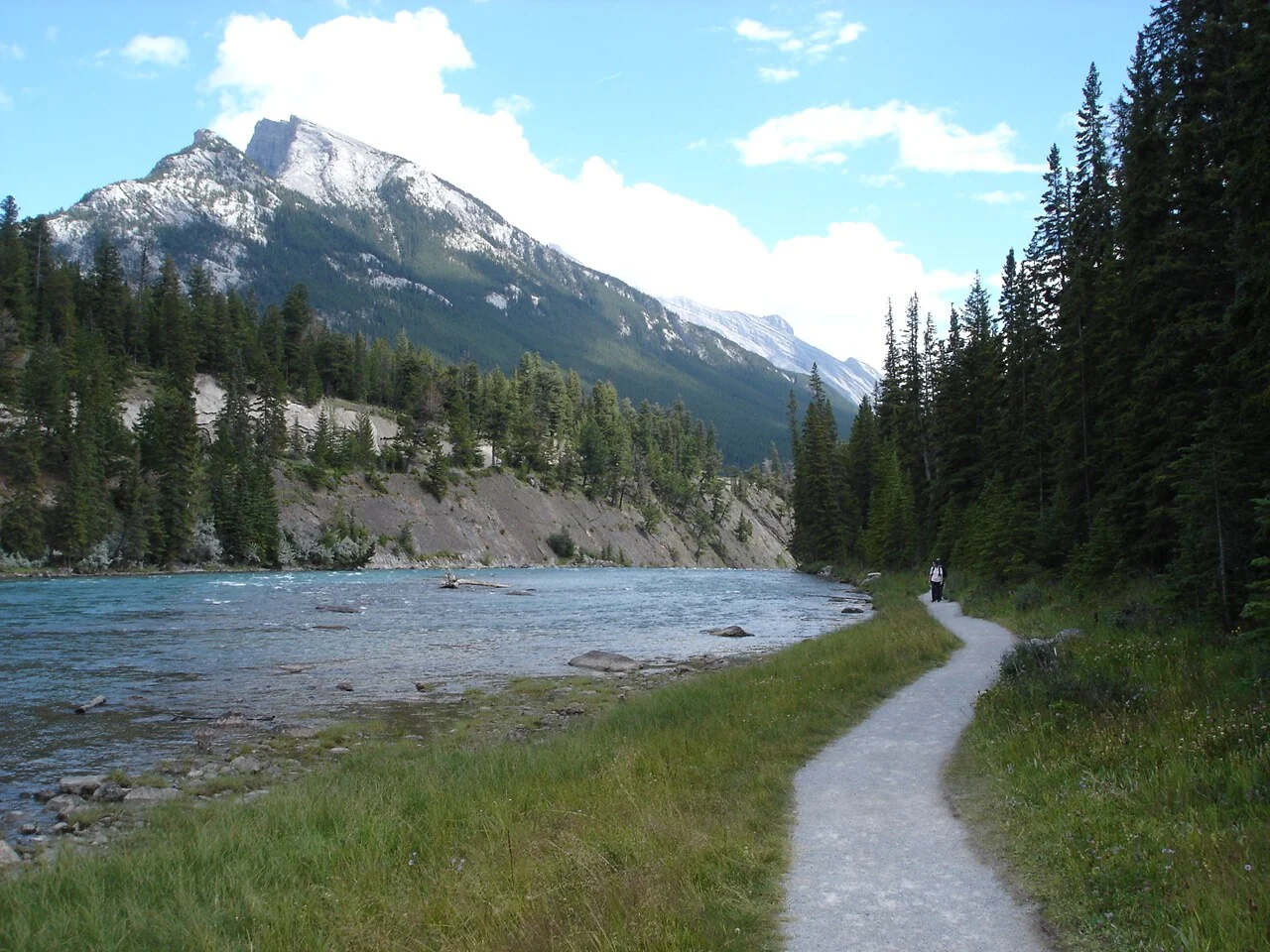
The Bow River, photographed by Yo Hibino in August 2004.Yo Hibino · CC BY 2.0